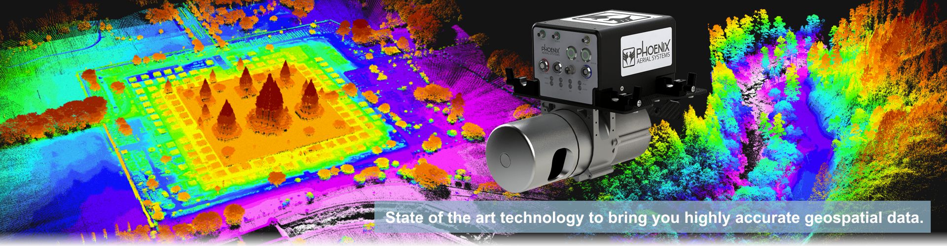
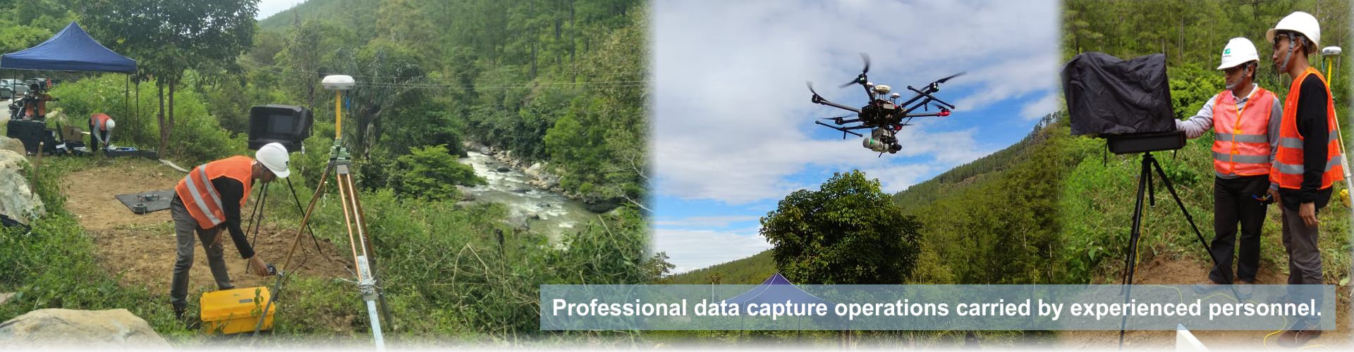
State of the art technology to bring you highly accurate geospatial data.
Our Services
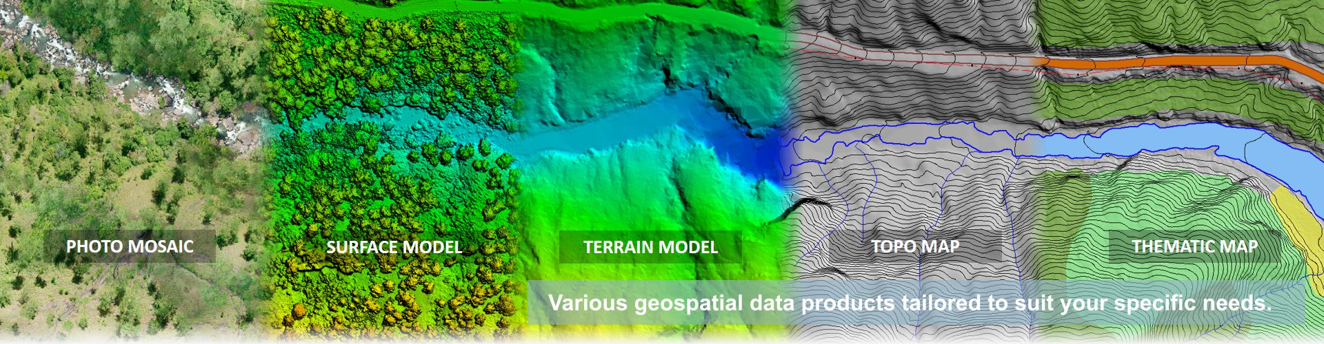
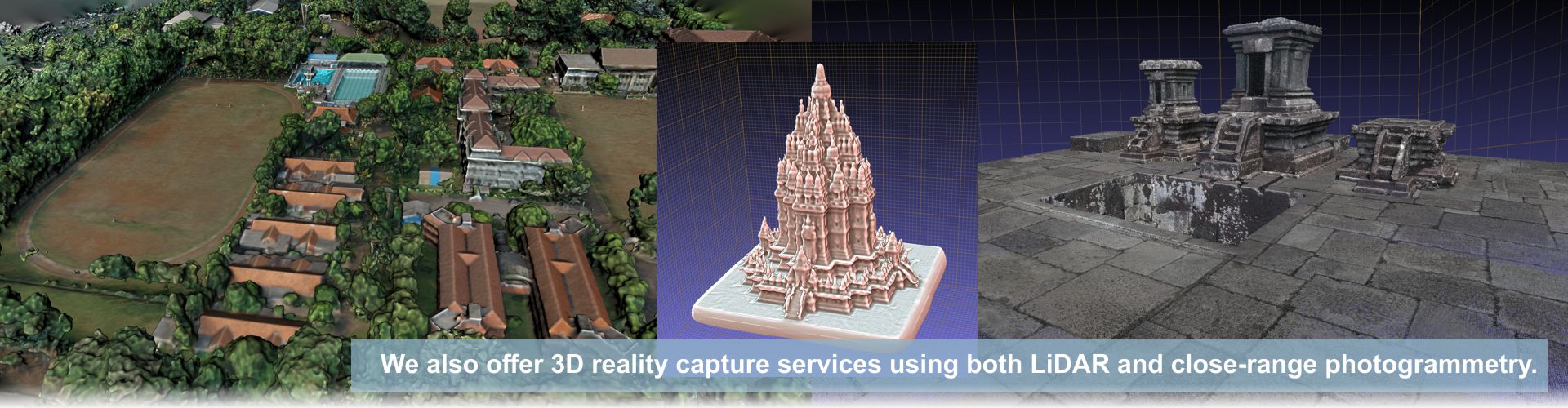
We provide UAV Mapping Solutions such as high-accuracy detailed topographic maps, videography of construction site inspection, 3d reconstruction of buildings, monuments, or survey areas, satellite imaging, and more.
Because Accuracy Matters

TOP Aerial is a geospatial data provider company, which specializes in high-accuracy detailed topographic maps.
TOP Aerial was established in 2016, and is a part of TOP Group, which operates in many different areas, focusing in renewable energy. With our sophisticated equipment and tools, operated by skilled and competent technicians, TOP Aerial will provide a full and professional service.
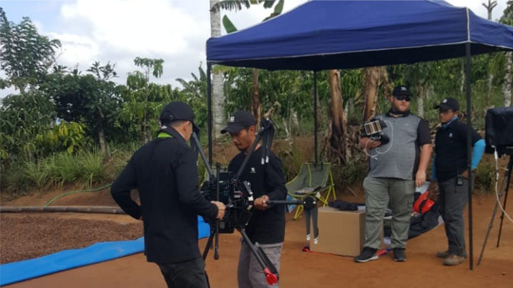
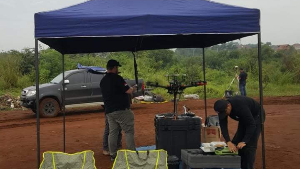
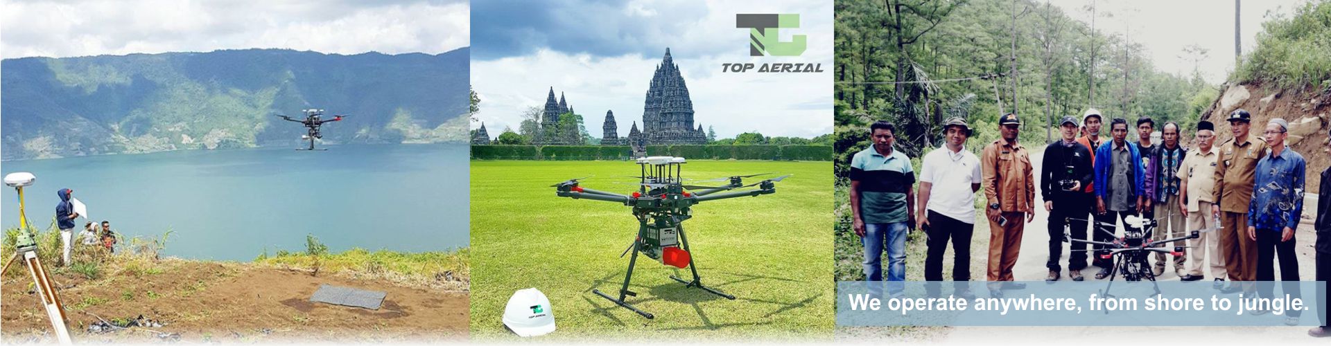
See Us in Action
We operate anywhere, from jungle to shore.